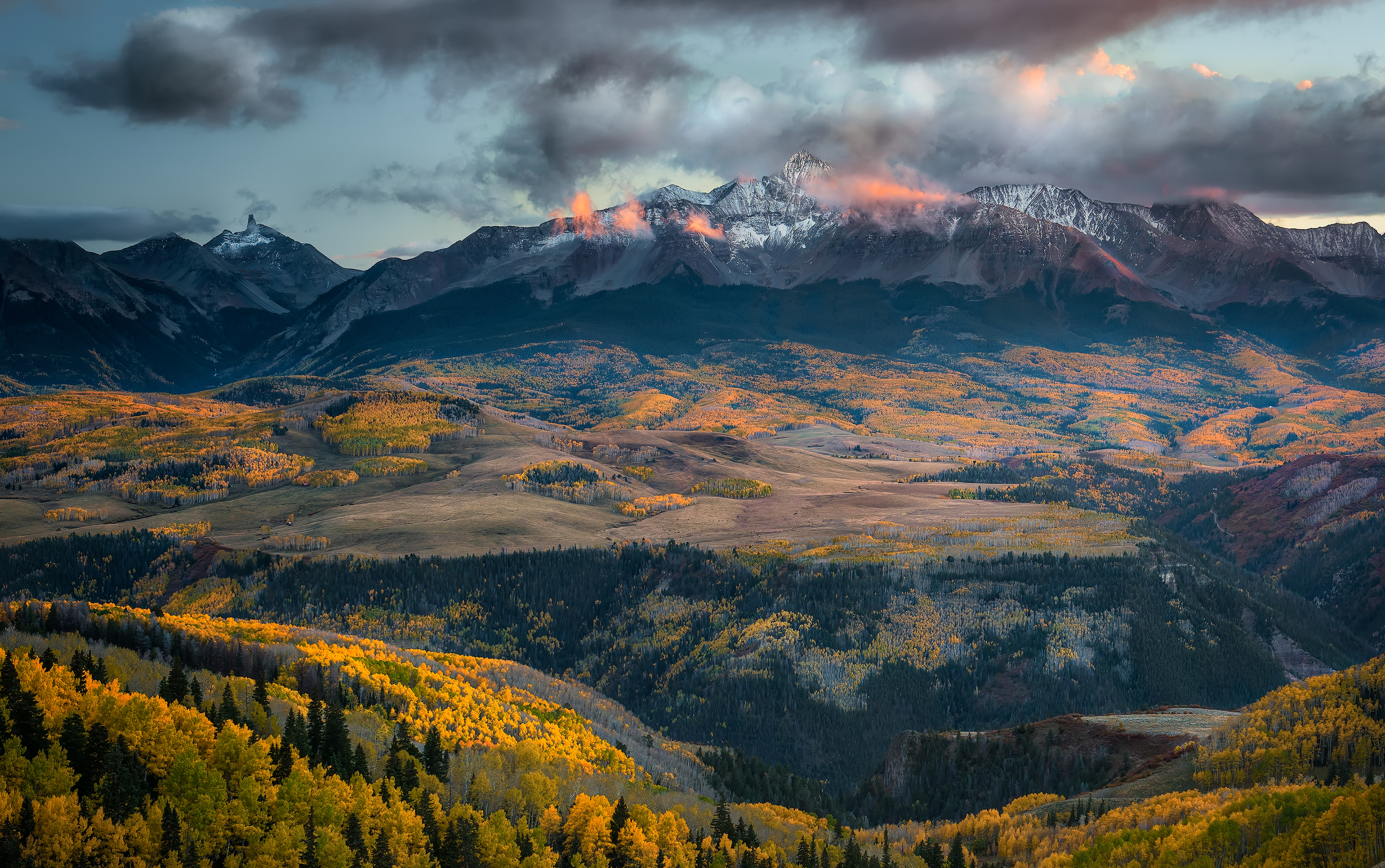
Wide valley, alpenglow on the peak. Technically, alpenglow is the reddish light that shows up after the sun has already dropped below the horizon — not the sunset itself, but sunlight still hitting the upper atmosphere and bouncing back down onto the peak after everything at valley level has already gone dark. That's the part that fools people: the mountain looks lit by a sun that, from where you're standing, isn't even up anymore. It lasts a few minutes, tops, before the same backscattered light runs out of atmosphere to bounce off, and the whole range just goes gray
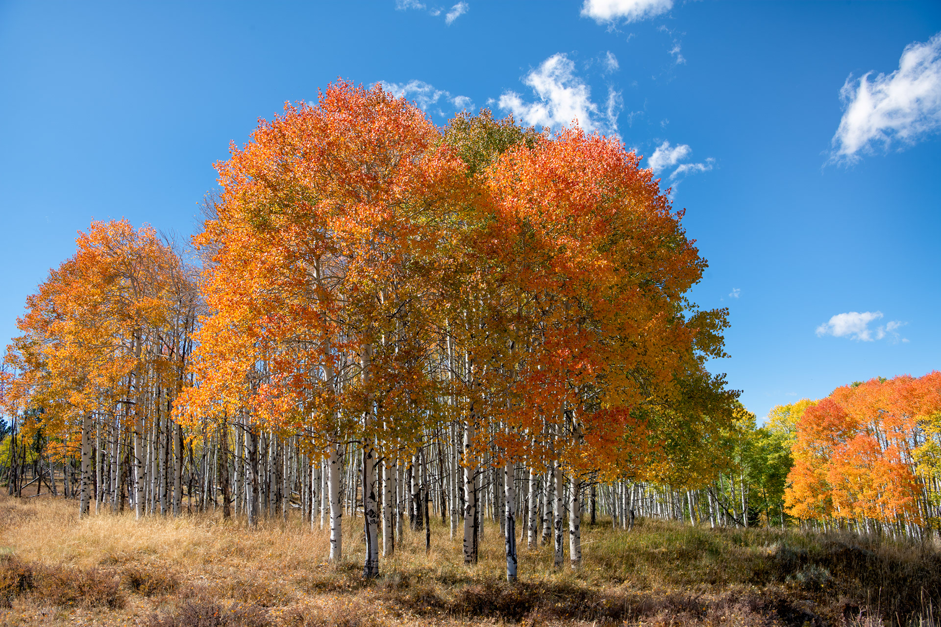
Aspen grove. Every trunk in a stand like this is very likely the same organism — quaking aspens spread mainly by root suckers rather than seed, so what looks like a forest of individual trees is usually one root system sending up thousands of genetically identical stems, effectively one living thing wearing many trunks. It's also why a whole hillside can turn gold within days of itself each fall: the color shift runs on a shared internal clock across trunks connected by the same roots, not on temperature alone. Even the trembling has a mechanical explanation, not a poetic one — aspen leaf stems are flattened sideways instead of round, which is what lets them flutter in almost no wind at all.
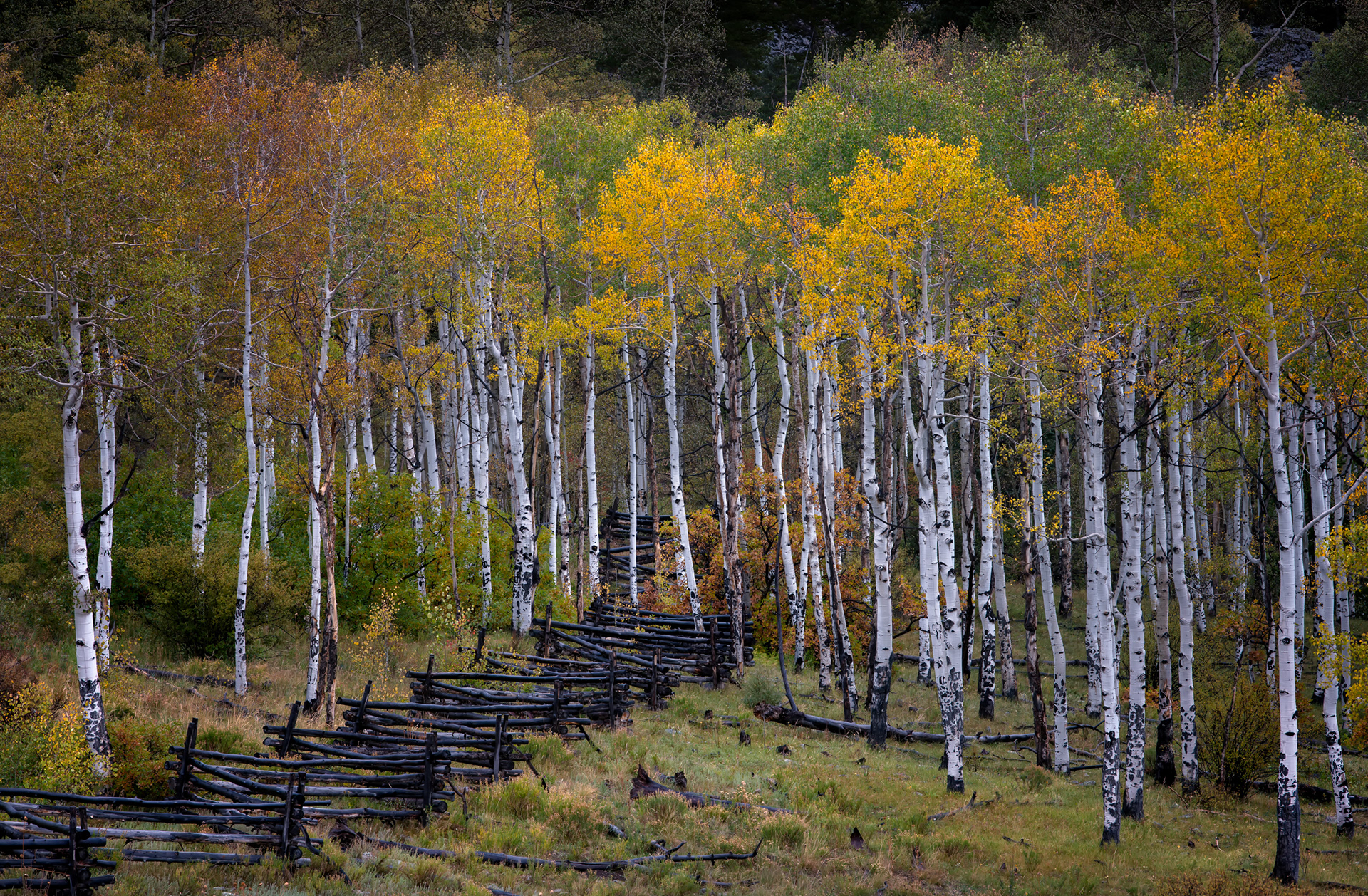
Split-rail fence, zigzagging through the aspens. This is technically called a worm fence, or snake fence, and the design exists to solve one specific problem: rocky Western ground that resists post holes. Instead of digging anything, each rail rests on the ones below it at an angle, with the zigzag itself doing all the structural work through nothing but friction and weight — no nails, no augers, no need to sink a single post into ground that would fight you the whole way. It also meant a fence like this could go up fast with just an axe and enough timber, which, out here, was never really the limiting factor.
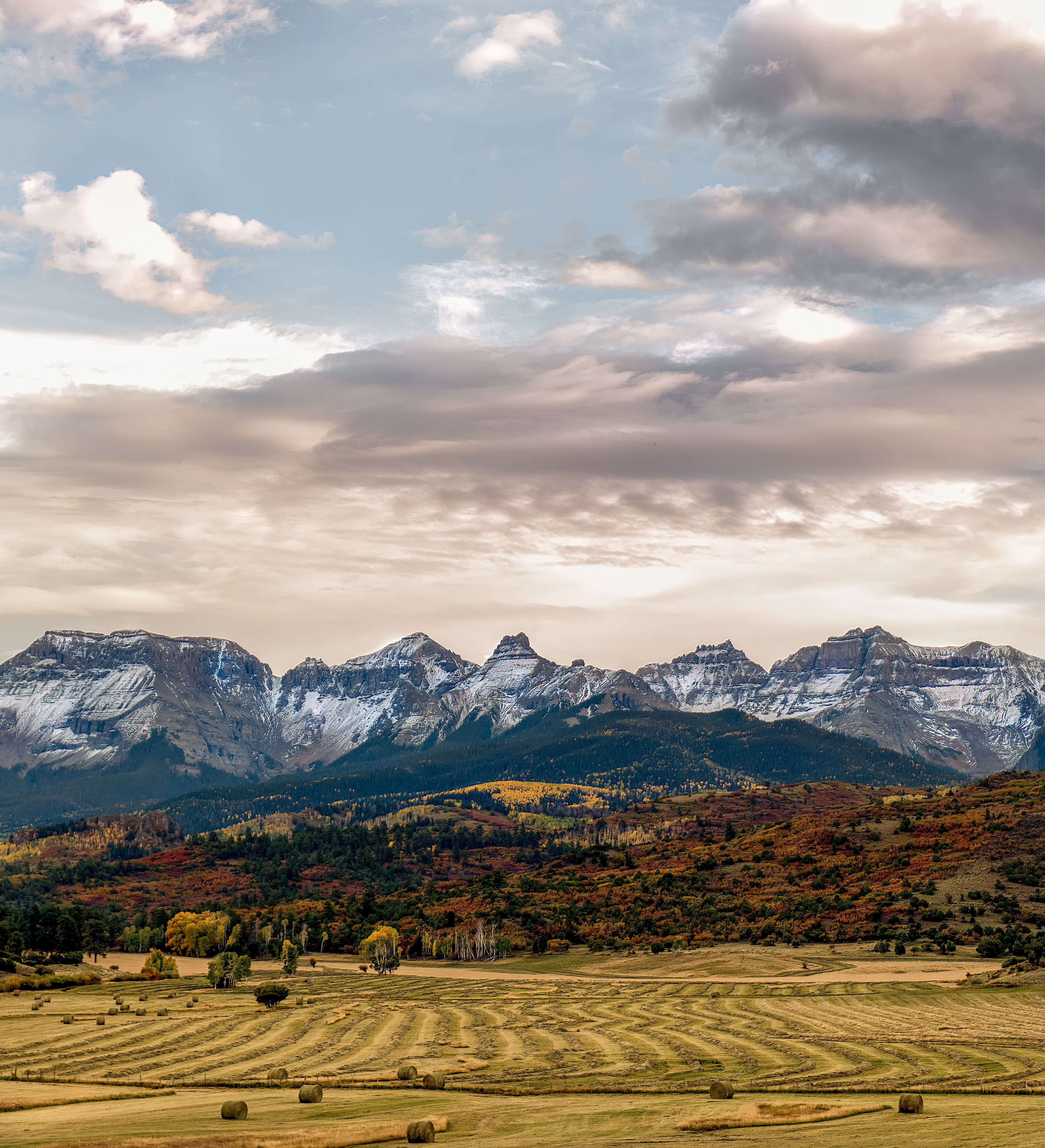
Hay rows, cut and raked into windrows below the peaks. At this elevation the growing season runs short enough that most of these meadows get exactly one cutting a year, timed to a narrow window in mid-to-late summer between the last frost and the first one. The rows themselves are windrows, not the original cut pattern — a separate pass with a rake gathers the hay into lines like this specifically so it dries evenly before the baler comes through, which is also why the spacing looks so deliberate: it's set by the width of the equipment, not by anyone drawing lines in a field for the view
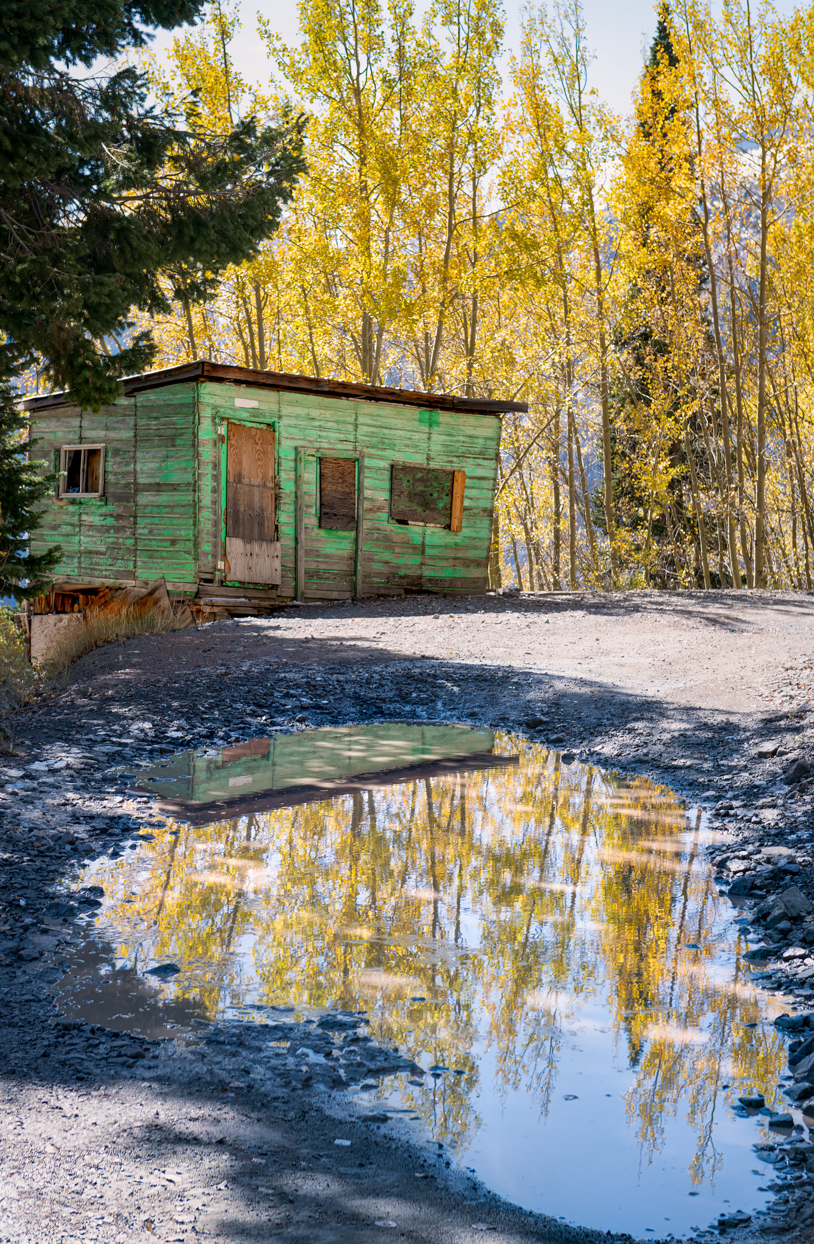
Green cabin, its reflection sitting in a puddle on the road in front of it. This is Imogene Pass Road, connecting Ouray and Telluride over a summit at 13,114 feet — one of the highest drivable passes in Colorado, rough enough that most rental-car insurance policies exclude it by name. The road follows an old mining route built to service the Tomboy Mine on the Telluride side and the Camp Bird Mine on the Ouray side, and cabins like this one are what's left of that traffic: built fast, built to survive brutal winters at treeline, then mostly abandoned once the ore ran out and the road reverted to something only my 4Runner could handle
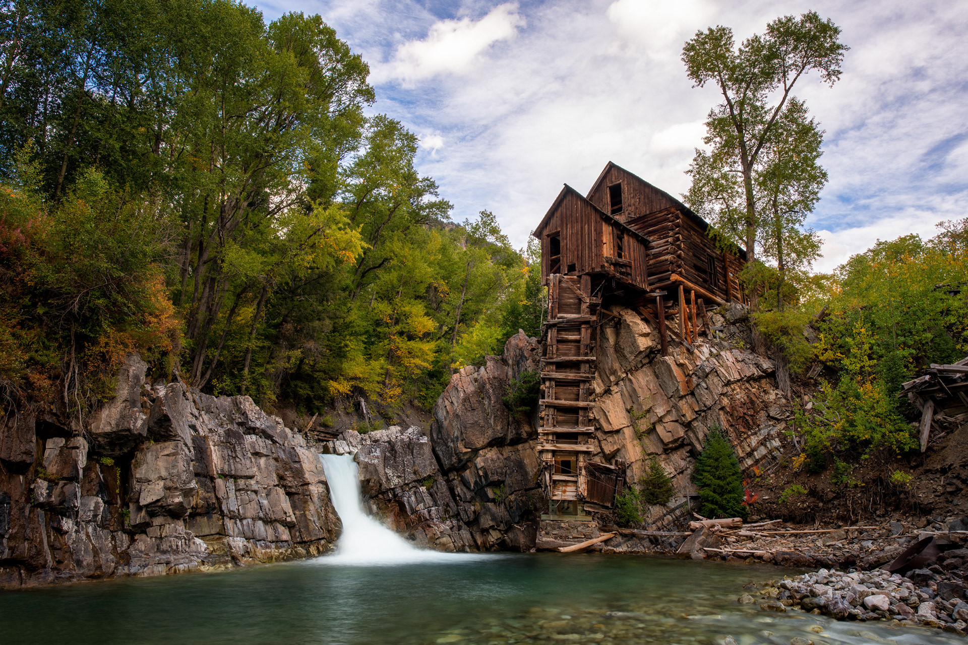
Crystal Mill, on the Crystal River near the ghost town of Crystal — and despite the name, it never actually milled anything. Built in 1893 for the Sheep Mountain Tunnel and Mining Company, it was really a compressor station: a horizontal waterwheel spun by the river drove an air compressor, and the compressed air ran pneumatic drills in the silver mines up the hill, piped in rather than any ore ever passing through the building itself. It worked for about twenty-four years, until the mine closed in 1917, and it's been sitting on this same outcrop, unpowered, ever since — reachable now only by the same rough four-wheel-drive road that got equipment in here in the first place.
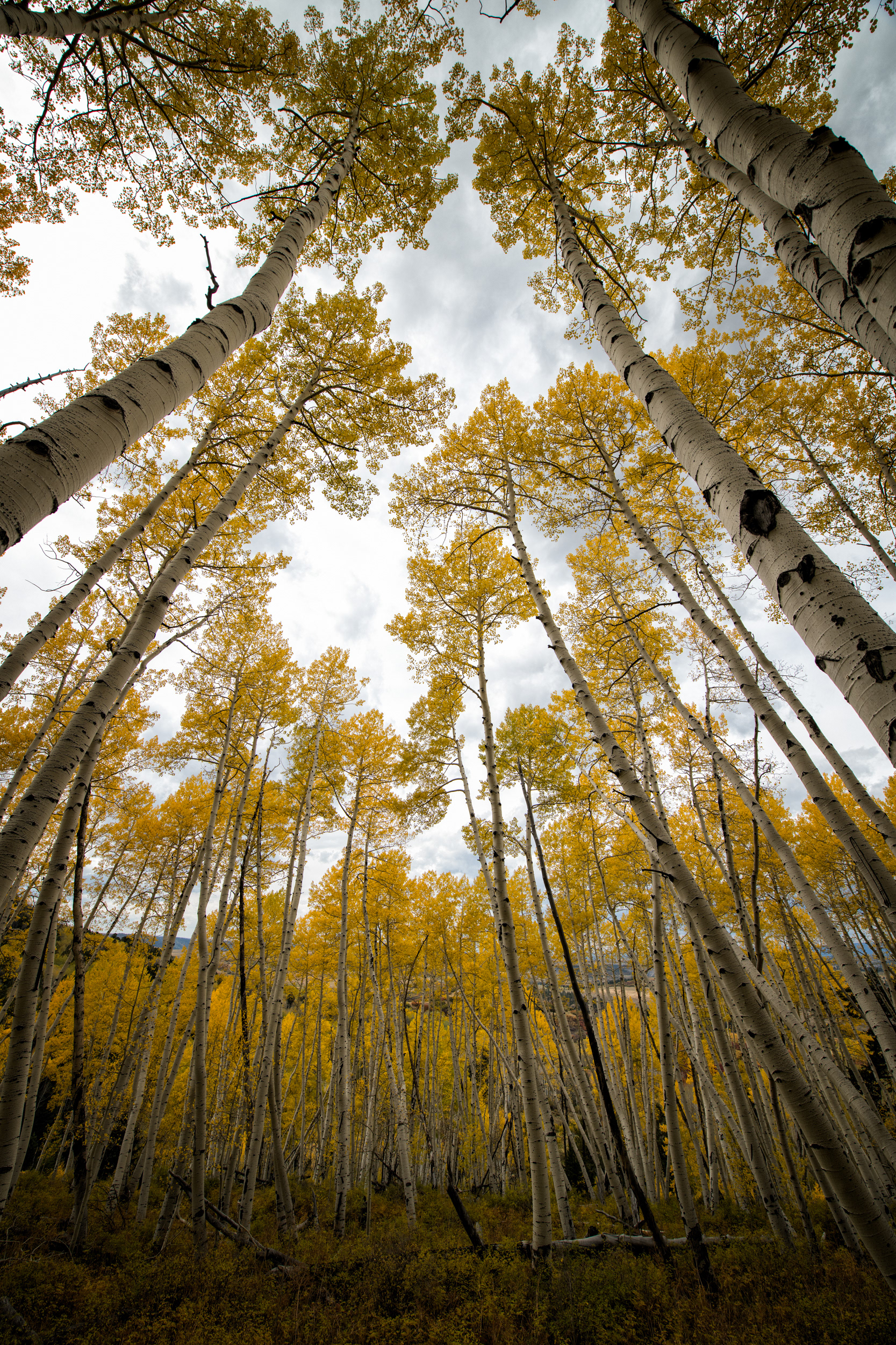
In a stand this dense, most of these trunks are competing directly with siblings that are, genetically, identical to them — the same root system sending up thousands of stems all racing each other for the same light, which doesn't actually benefit the colony as a whole, just whichever stem wins. That competition is why the trunks run bare and branchless most of the way up: any low branch that stops getting enough light dies off, so the entire canopy ends up compressed into one thin layer near the top, which is the only part of the tree you're actually looking at from here
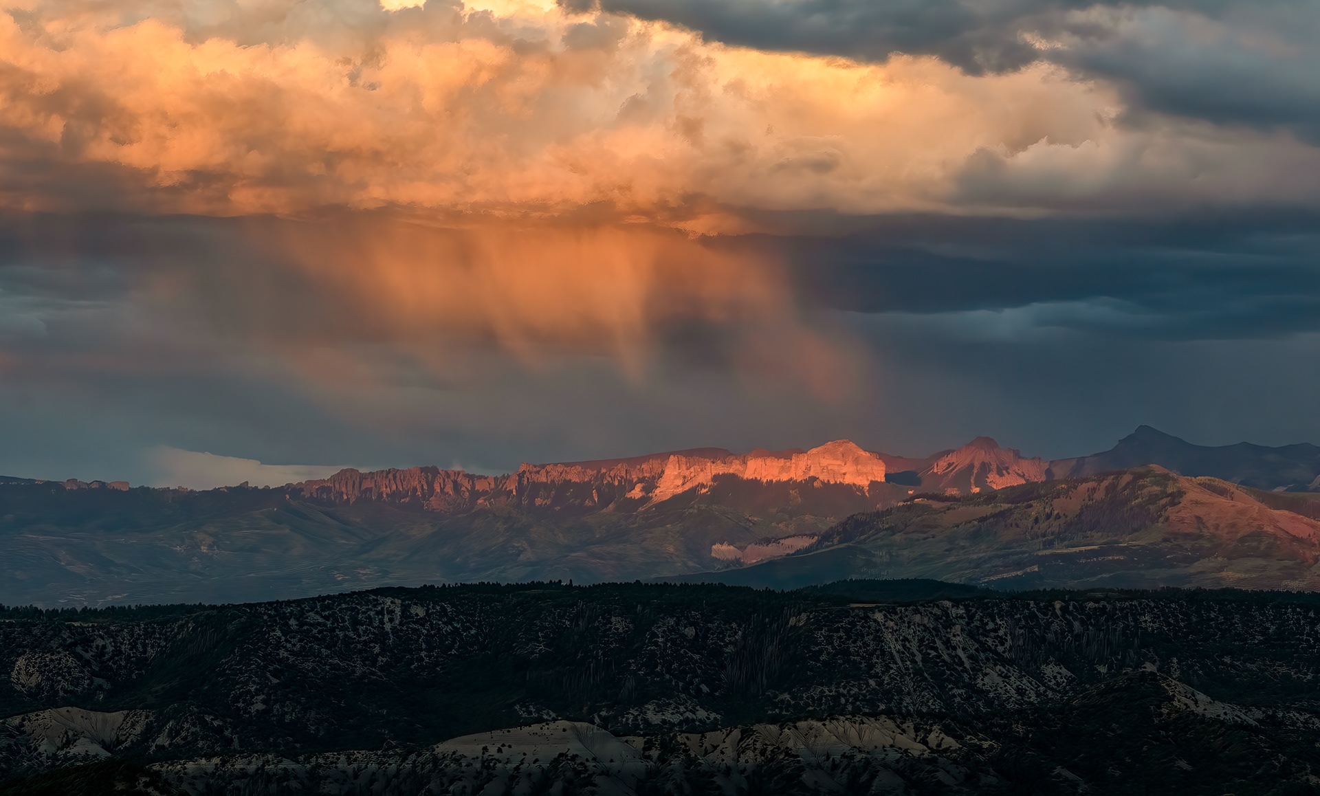
Virga, lit orange by low sun — rain that's already falling and already losing the fight before it reaches the ground. At elevation, the air near the surface is often dry enough that real moisture can be falling from a cloud a few thousand feet up and simply evaporate before any of it reaches the peaks below, leaving these curved, comet-like streaks instead of an actual storm. It's not purely decorative, either: virga is one of the more reliable ways lightning ends up starting a wildfire in the West, since a storm can build up enough charge to discharge without ever delivering the rain that would otherwise put the strike out.
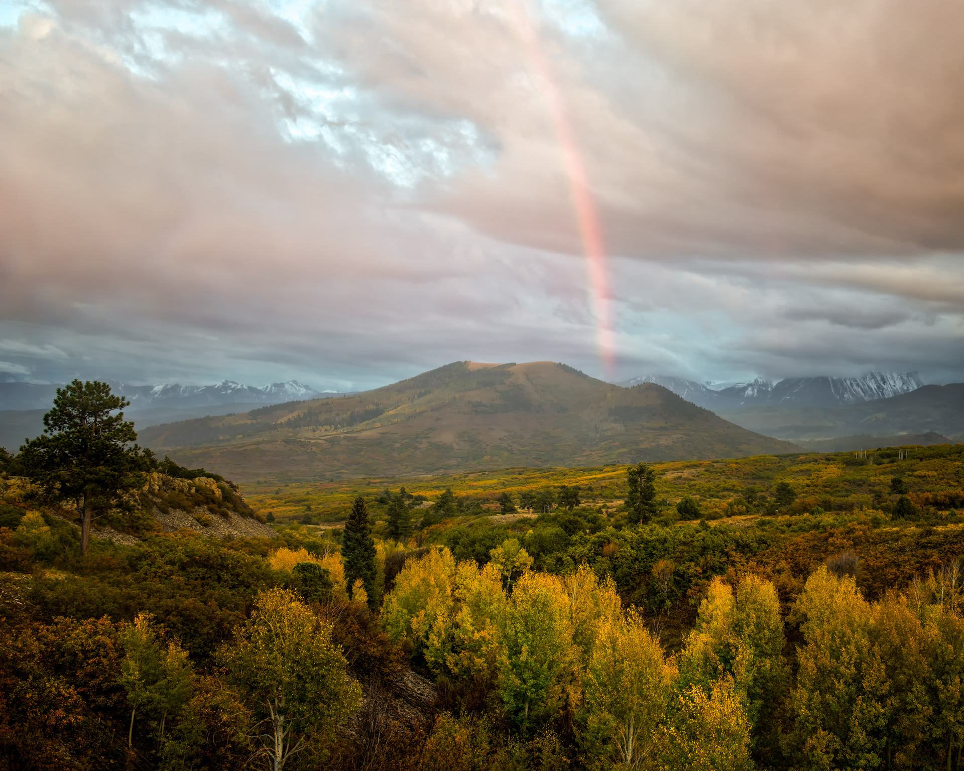
Rainbow, arcing over the valley. Every rainbow is a strictly personal phenomenon — the cone of droplets producing the colors you see sits at a precise 42-degree angle from the line between the sun and your own eye, which means the person standing next to you is technically looking at a different rainbow, made of different droplets, that only appears to overlap with yours because you're standing close together. Step ten feet either way and the rainbow moves with you, since there was never a single fixed arc out there to begin with — just conditions capable of producing one, wherever the light and the rain happen to line up with whoever's looking.
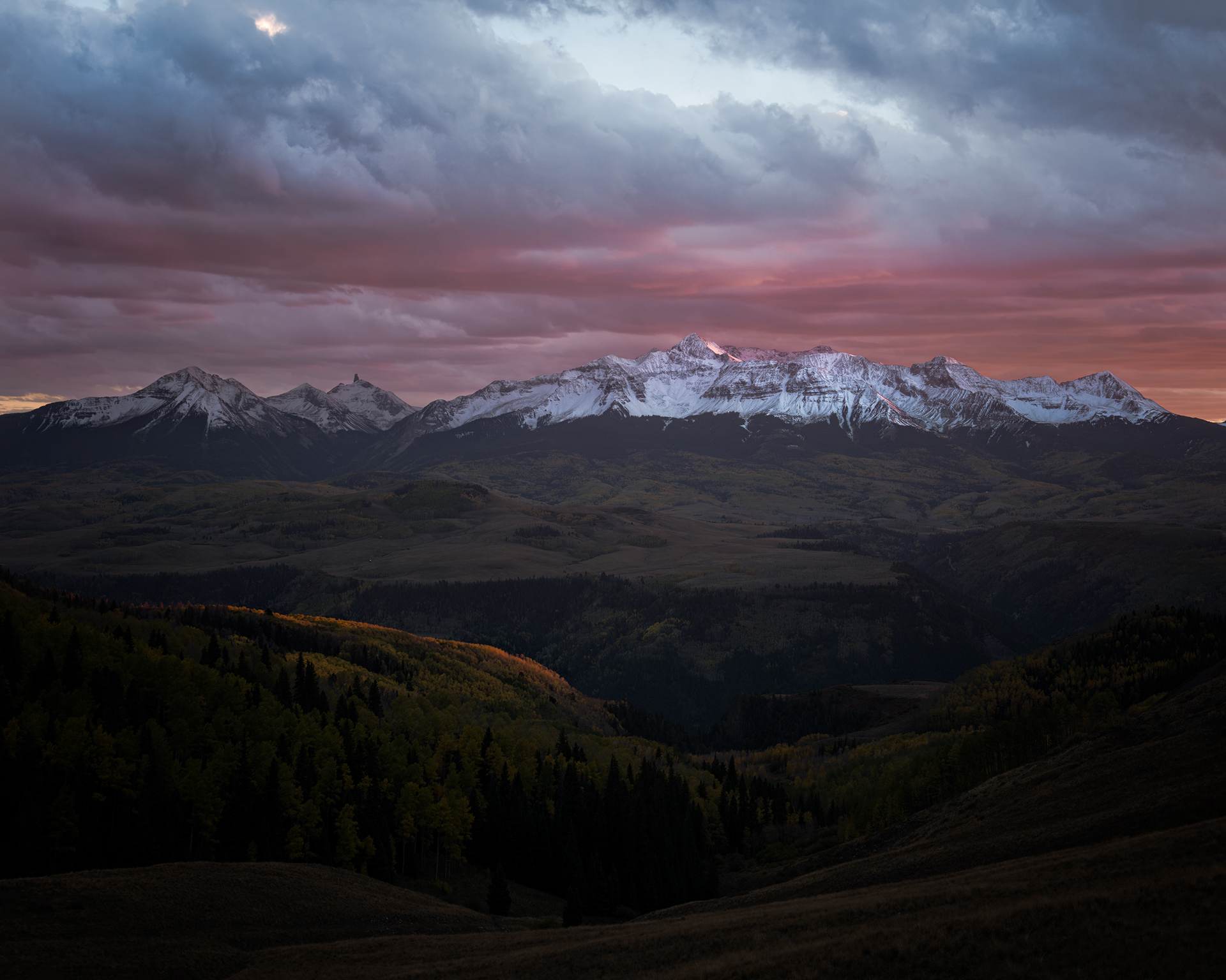
Peak at dusk, the sky gone a deep violet-pink above it. That band has a name — the Belt of Venus — and it's really about geometry more than color: backscattered sunlight sitting directly above the Earth's own shadow, the darker, blue-gray band that would show up lower on the horizon in this same frame if the peak weren't blocking it. Both bands rise together as the sun keeps dropping, and both are gone within about twenty minutes, once the sun's far enough below the horizon that there's nothing left in the upper atmosphere for the light to bounce off of.
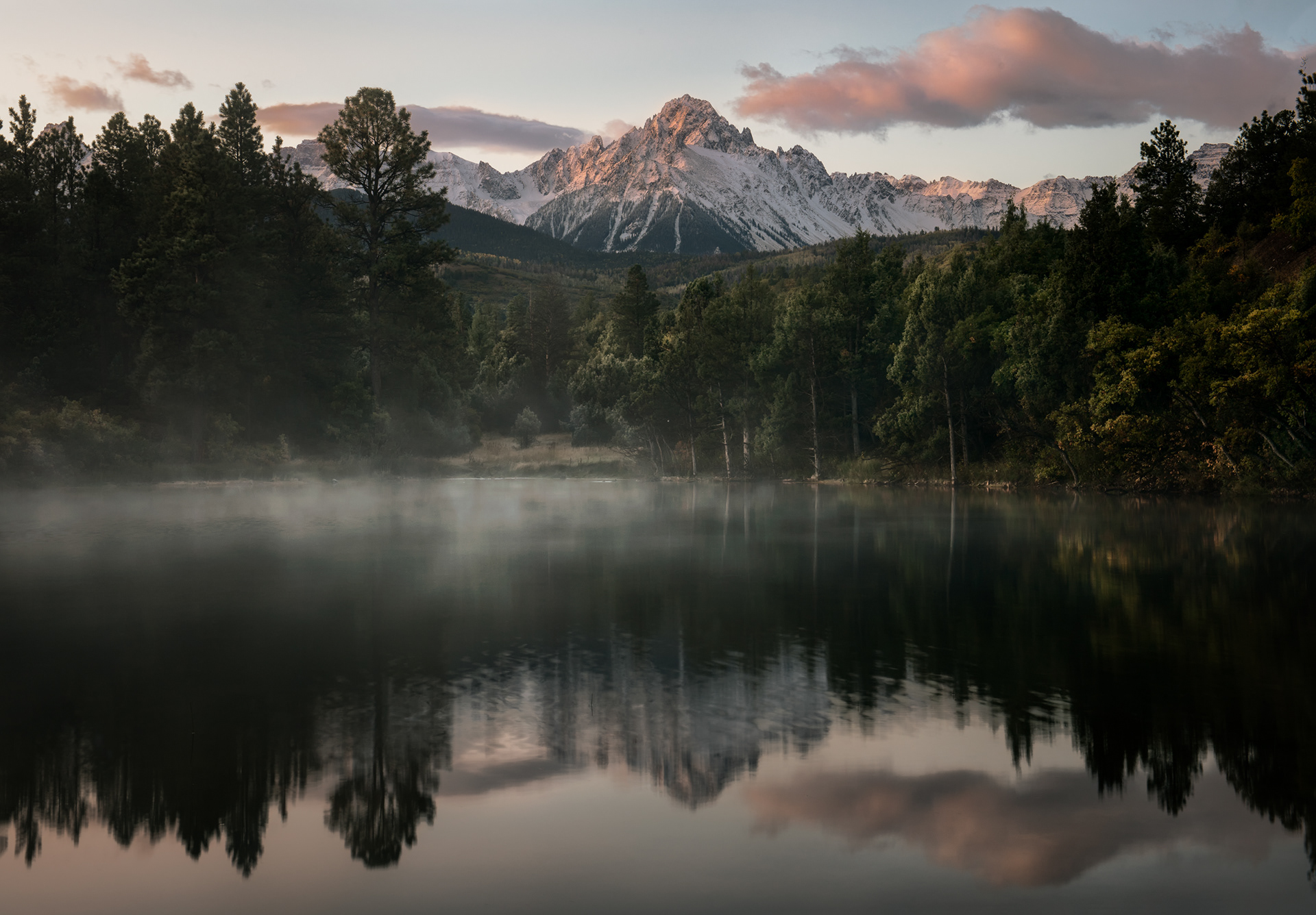
Foggy dawn, lake reflection. Both things in this frame come from the same overnight condition: clear skies and dead-calm air let the valley floor lose heat fast after dark, cold air then drains downhill and pools right where the lake sits, cooling below its dew point and condensing into exactly this kind of low-lying fog. That same stillness is also what makes the reflection possible — glassy water needs almost no wind at all, and a valley cold enough to fog over is, by the same physics, usually calm enough not to disturb the surface. By midmorning, once the sun's warmed the air past that threshold, both effects are gone within the same half hour.
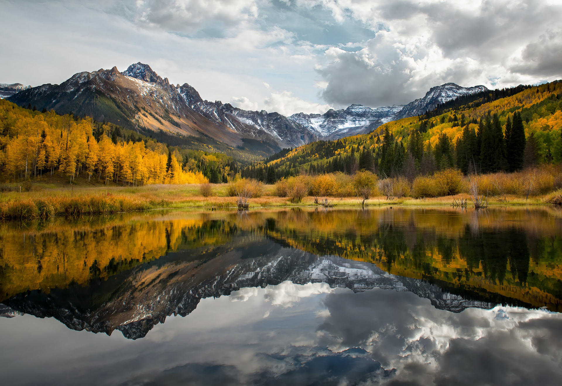
Lake reflection, storm clouds building. That flat top on the largest cloud is called an anvil, and it forms for a specific reason: the storm keeps rising until it hits the tropopause, the boundary where the atmosphere stops cooling with altitude and starts warming again, at which point the rising air can't punch through anymore and spreads out sideways instead, flattening into that shelf. High-altitude lakes tend to sit in bowls ringed by peaks that block most of the wind, which is why water this still can coexist with a storm building close enough to actually threaten it — the wind just hasn't reached the surface yet, even though the storm clearly has, elsewhere.
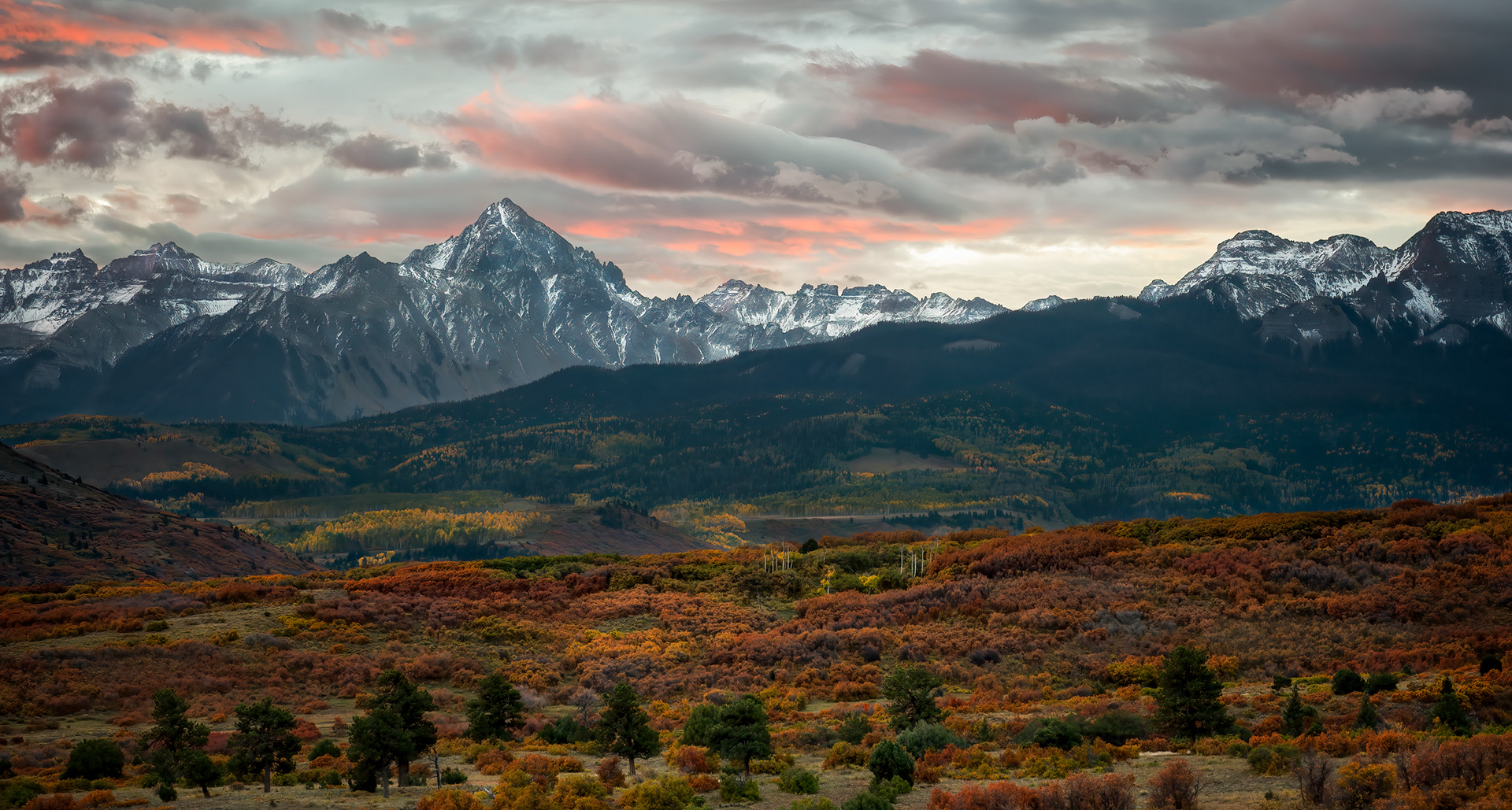
The Sneffels Range at dusk. Mount Sneffels itself, the 14,150-foot peak anchoring this skyline, is named after Snæfellsjökull, the glacier-capped Icelandic volcano that Jules Verne used as the entrance to the underworld in Journey to the Center of the Earth — an oddly specific reference for nineteenth-century surveyors to reach for out here, but that's the naming. This particular vantage, from along Highway 62 at the Dallas Divide, is reportedly one of the most photographed mountain views in the state, and as of 2023 it's also the peak printed on every Colorado driver's license — which means more people are now carrying around a version of this exact mountain in their wallet than have ever actually stood here and seen it.
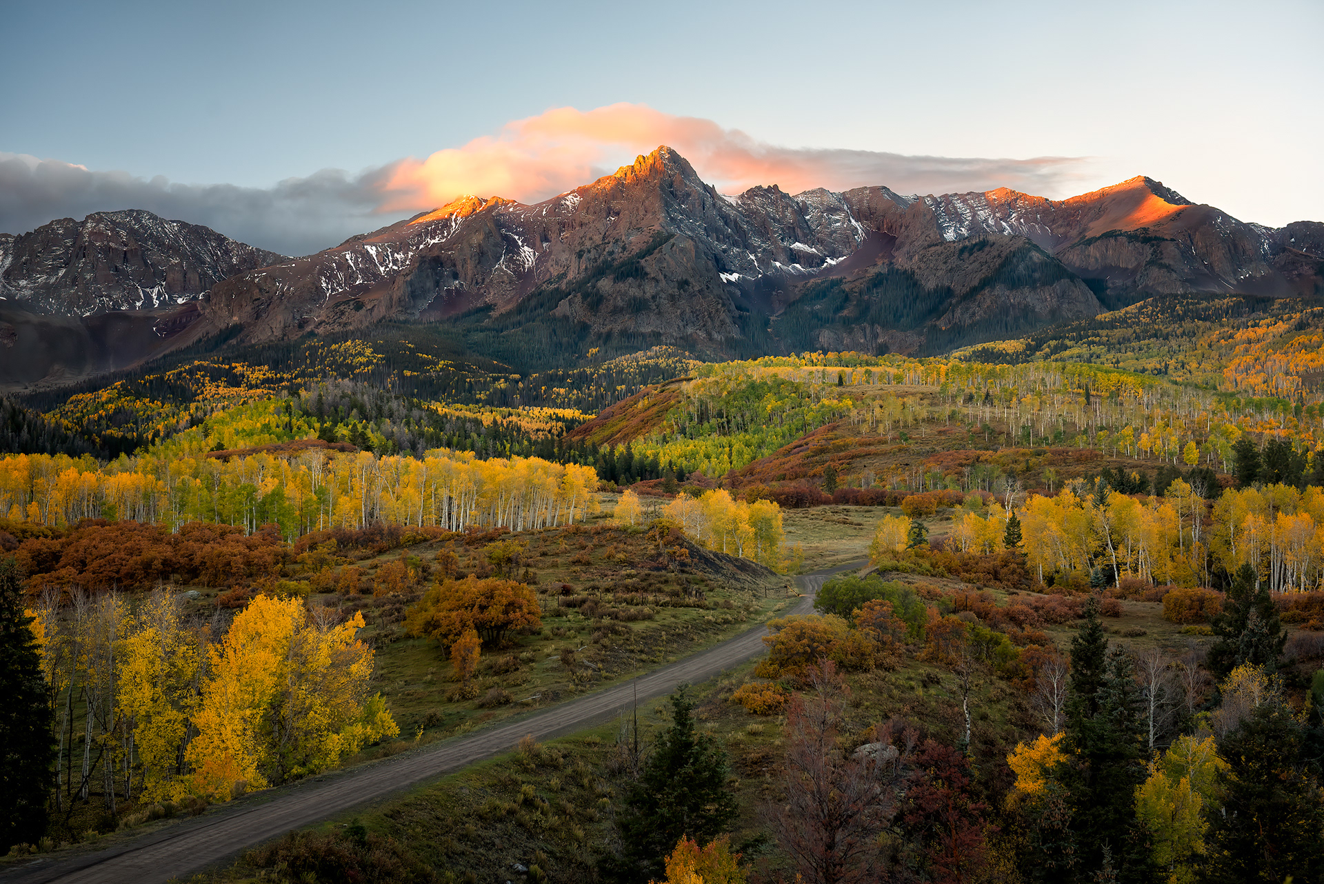
Sunrise, gold light already hitting the high road while the valley below it is still holding onto blue shadow. That gap has nothing to do with atmosphere and everything to do with geometry — the sun clears the eastern ridgeline and reaches anything at this elevation minutes, sometimes tens of minutes, before its light can clear the same ridge a second time to reach the valley floor. Altitude buys you sunrise early and sunset late, the same trade working in both directions, which is part of why roads built up this high always look like they're catching light nothing else around them is getting yet.
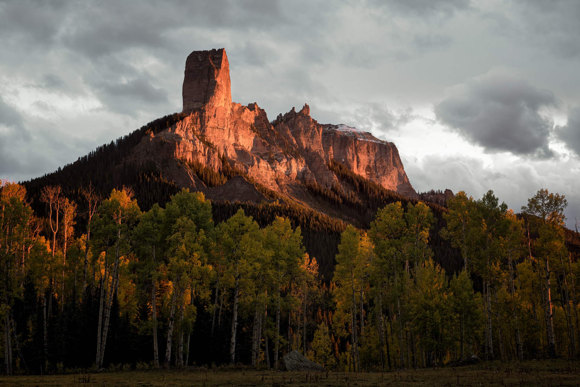
Two spires near Owl Creek Pass, catching what's left of the day's light — and Chimney Rock, the narrower of the two, has this genuinely strange, hyper-specific claim to fame worth just stating plainly: it's the steepest point in the entire state of Colorado, 61.4 degrees on average, i.e., 1,600 vertical feet gained over less than half a mile, a slope that's functionally closer to a wall than a mountain in any sense most people mean by "mountain." Nobody touched it until 1934, and the one route up it is still rated the same 5.6 it was rated then. It also has a film career, of all things — the skyline behind John Wayne in True Grit, and, before that, in How the West Was Won, both times uncredited, both times just standing there being steep.
↑Back to Top