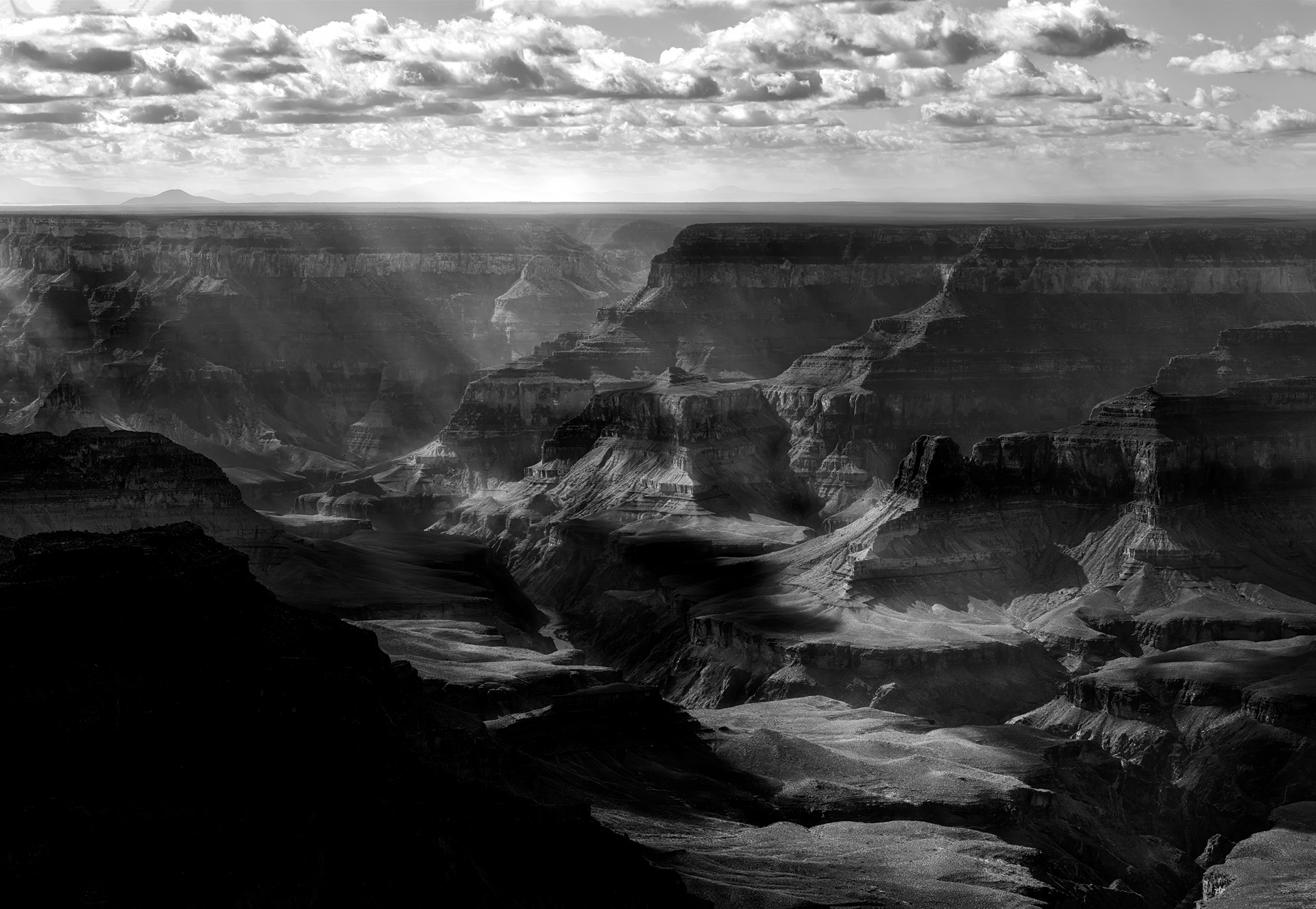
Grand Canyon, god-rays breaking through cloud cover, black and white. Those shafts of light are crepuscular rays — dust and haze scattering sunlight through gaps in the clouds — and they're actually parallel; perspective is the only reason they look like they're fanning out from a single point overhead, the same trick that makes railroad tracks converge in the distance. What they're falling on is close to two billion years of exposed rock stacked in one place: the schist at the canyon floor formed before anything resembling complex life existed on Earth, the limestone at the rim only a few hundred million years old, and the river that cut the gap between them did the job in a sliver of that time, geologically speaking.
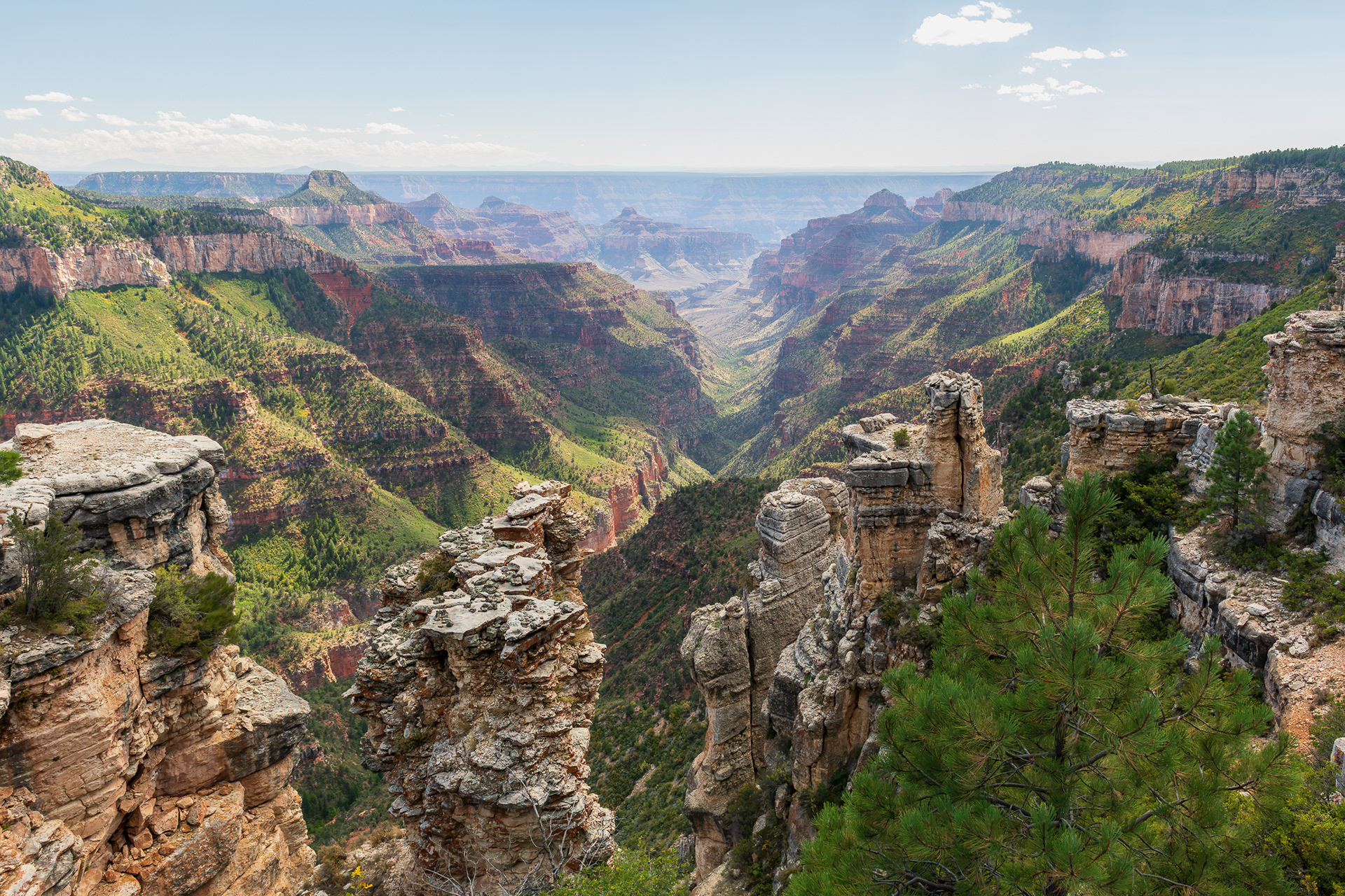
Point Sublime, North Rim — a name the geologist Clarence Dutton gave it in 1880, while the U.S. Geological Survey was cataloguing this stretch of canyon and needed something short of hyperbole for what he considered its single best view. Dutton went on to name most of the canyon's inner buttes and temples after world religions — Vishnu, Zoroaster, Osiris — but this overlook got a plainer, more editorial title, because by his own account no other spot showed him more of the canyon at once, both rims and the inner gorge together. It's still one of the more isolated viewpoints in the park: seventeen miles of unpaved, high-clearance road in, which is presumably part of why it still looks like this and not like a parking lot
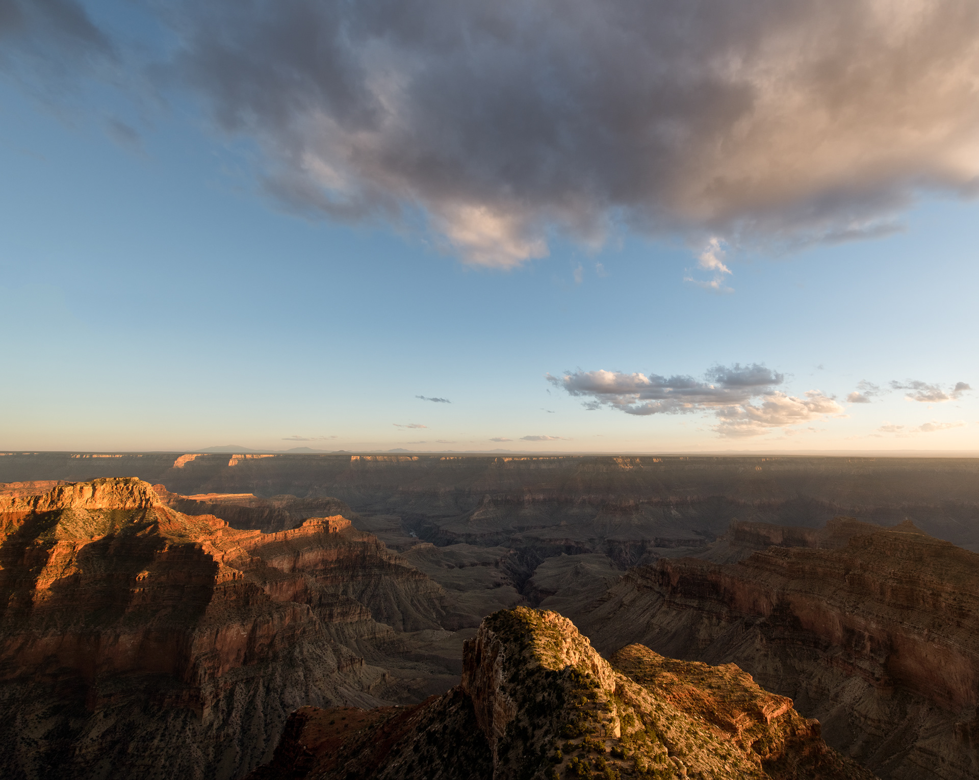
Grand Canyon, storm cell moving through. The canyon's own vertical relief — a full mile from rim to river — means weather changes with elevation almost like a trip north to south: pine forest and cool air up top, cactus and near-desert heat at the bottom, sometimes a twenty-degree spread between them on the same afternoon. That's also why rain up here doesn't always mean rain down there — a storm can dump hard on the rim and never reach the floor at all, drying out mid-fall into virga before it clears the canyon walls. Arizona's summer monsoon, roughly July through September, is what reliably builds cells like this one; the rest of the year the sky mostly just watches.
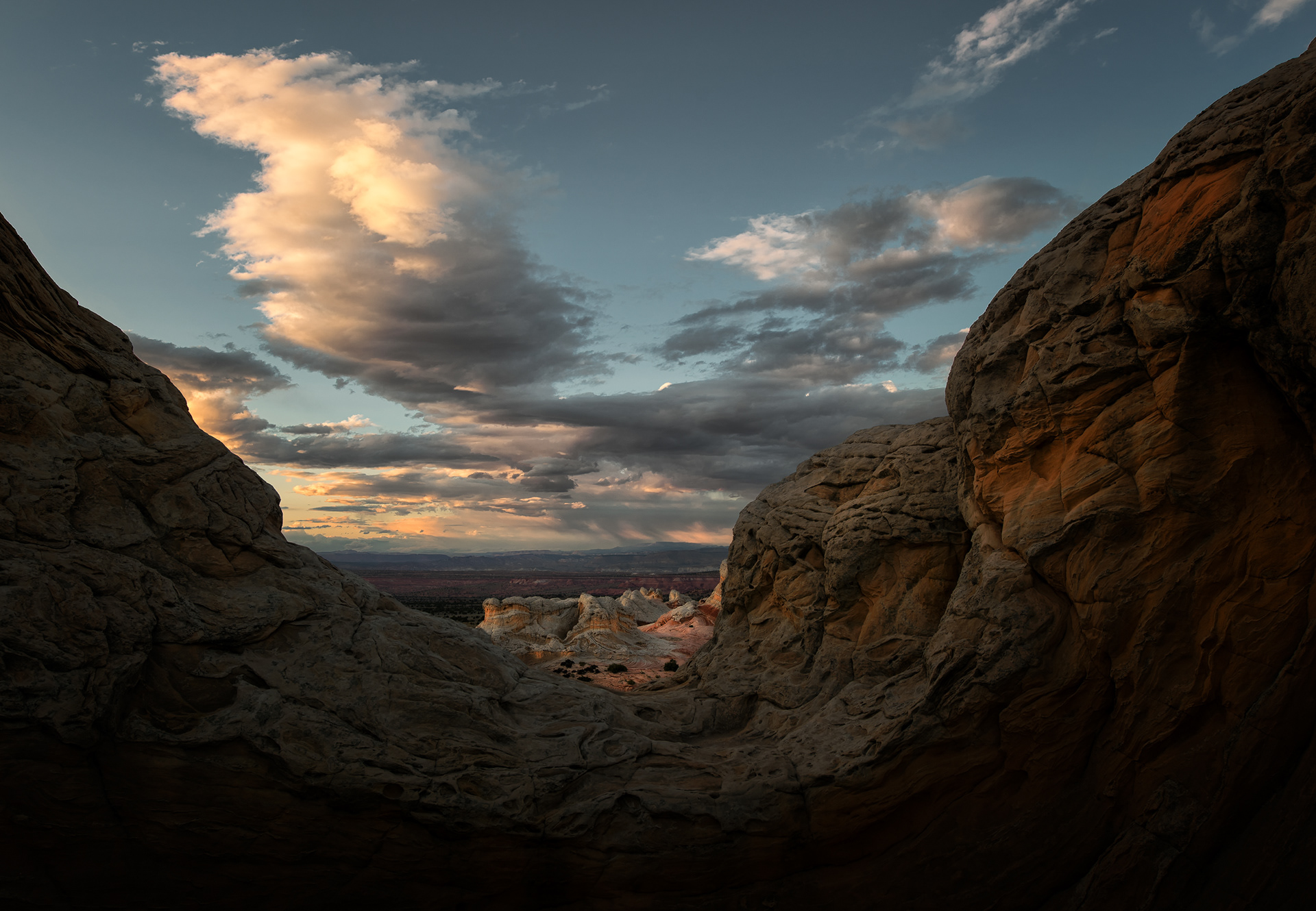
White Pocket, a figure caught in silhouette through a gap in the rock. This isn't wind-carved dune sandstone like most of the Colorado Plateau's swirl formations — it's the same Jurassic-age Navajo Sandstone as its famous neighbor the Wave, but here the still-wet, unconsolidated layers got folded and buckled by some kind of seismic or slumping event before they ever hardened into smooth cross-bedded curves. A mineral crust called case-hardening locked that chaos in place afterward, protecting the softer rock underneath from wearing away at the same rate as everything around it. No permit gets you here, unlike the Wave — just several miles of deep sand road and a vehicle built to survive it.
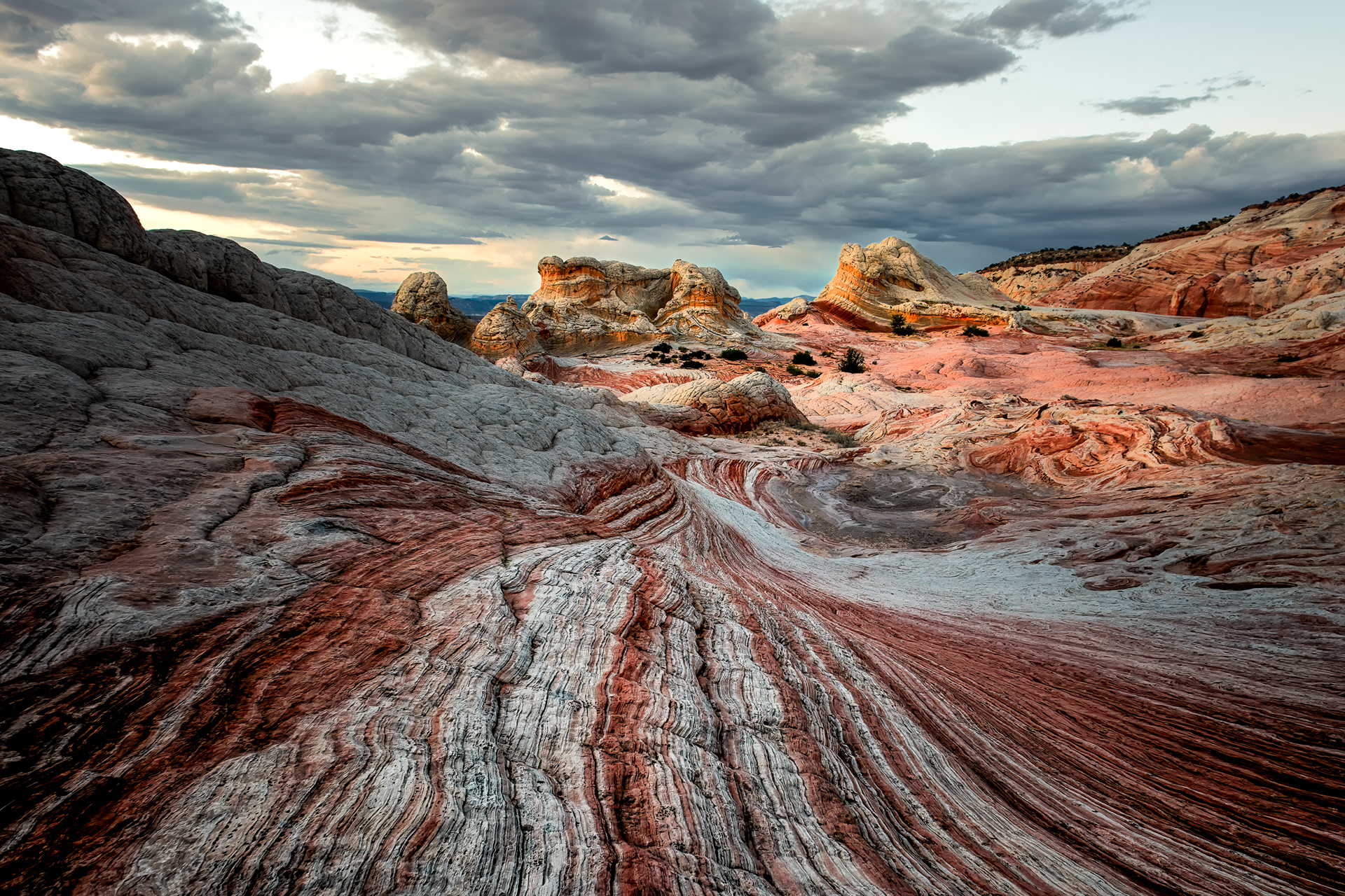
White Pocket, red and white swirled together in the same rock. Both colors come from iron: the red is hematite staining that never left, locked into the sand grains; the white bands are the same sandstone with that iron leached back out by groundwater moving through unevenly, bleaching it pale wherever the chemistry allowed. Same stone, same age, same original deposit — just two different chemical histories running side by side in bands a few inches apart, which is the part that looks designed and isn't.
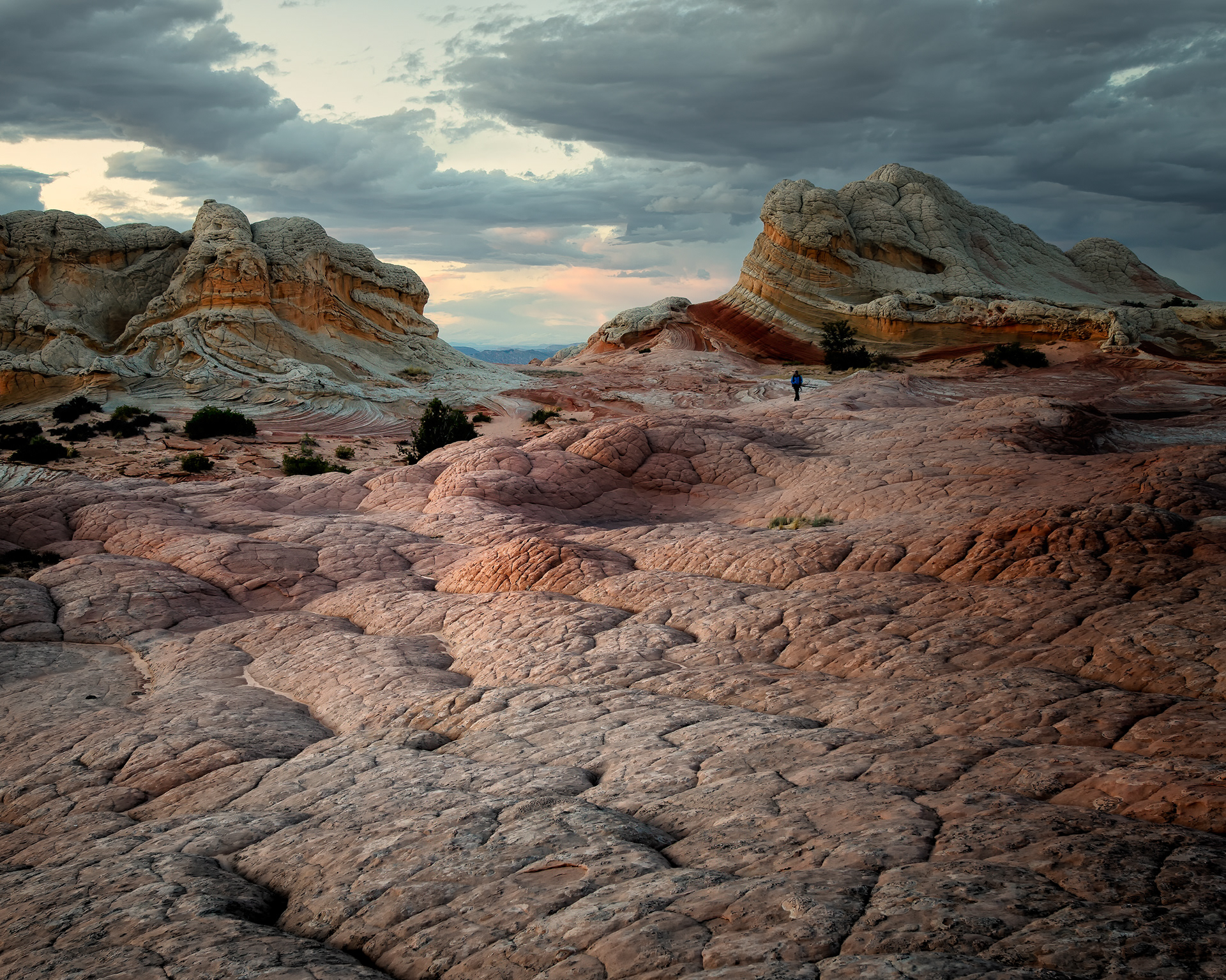
White Pocket, a figure for scale. The bumpy, cauliflower-like texture across these domes has its own name, "brain rock," and it comes from that same hardened crust cracking into a network of polygons — each one eroding fastest at its edges and slowest at its center, so the crust doesn't wear down flat, it wears down into rounded cells. None of that reads at actual size in most photographs; the domes are easy to misjudge by two or three feet in either direction until an actual body walks up next to one. This is what it takes to correct for that.
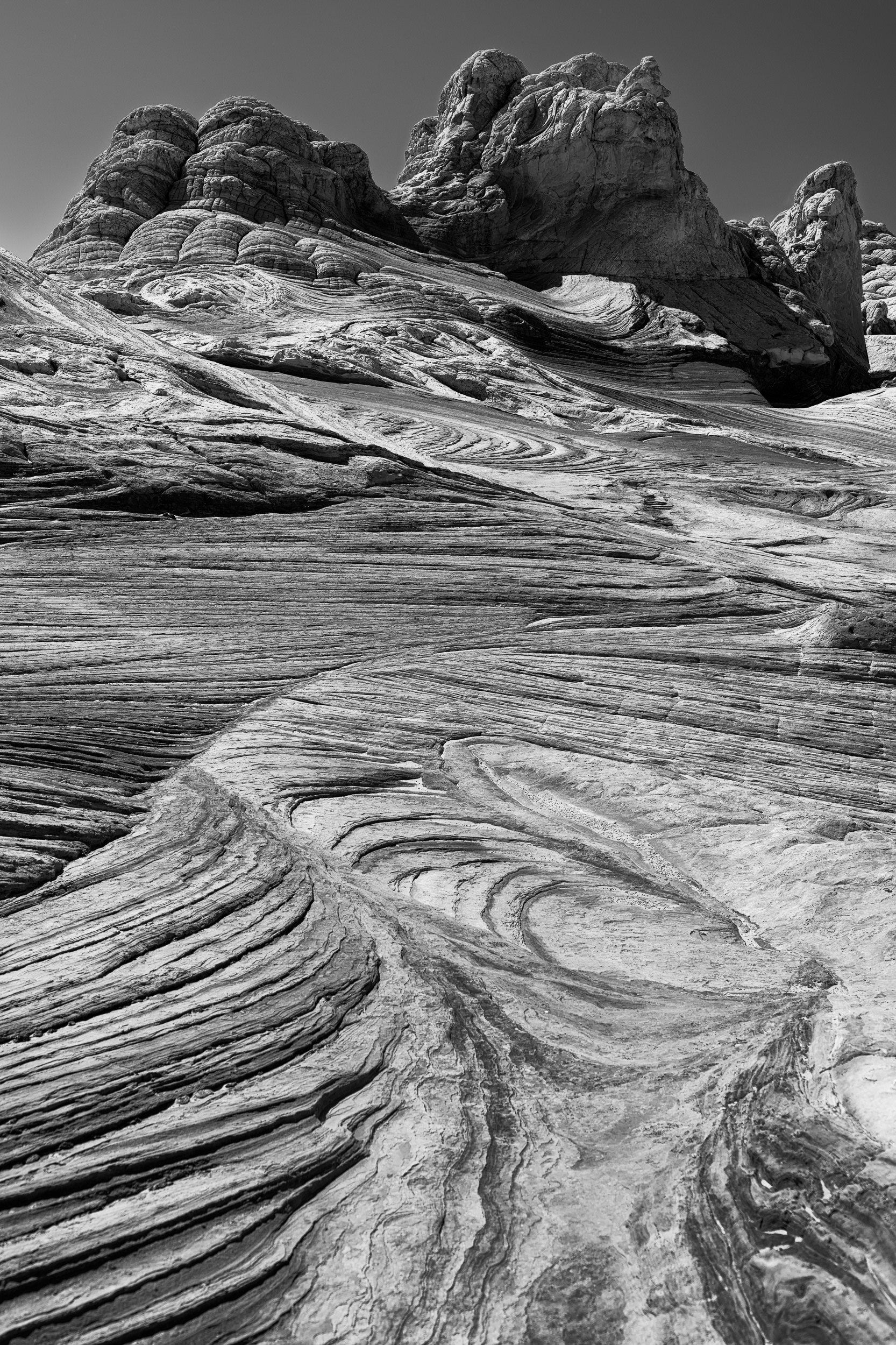
White Pocket, in black and white — with the red-and-white bleaching removed, what's left is just the texture: the folds, the polygons, the domes. That texture is the reason White Pocket exists as a distinct feature at all — a shallow basin in the Navajo Sandstone trapped extra wet sediment while it was being laid down, sediment that folded and buckled under its own weight in a way the drier dune sand for miles around never did. Strip the color and you're left looking at exactly that: a deformation event, still visible, still frozen mid-collapse about a hundred and ninety million years later.
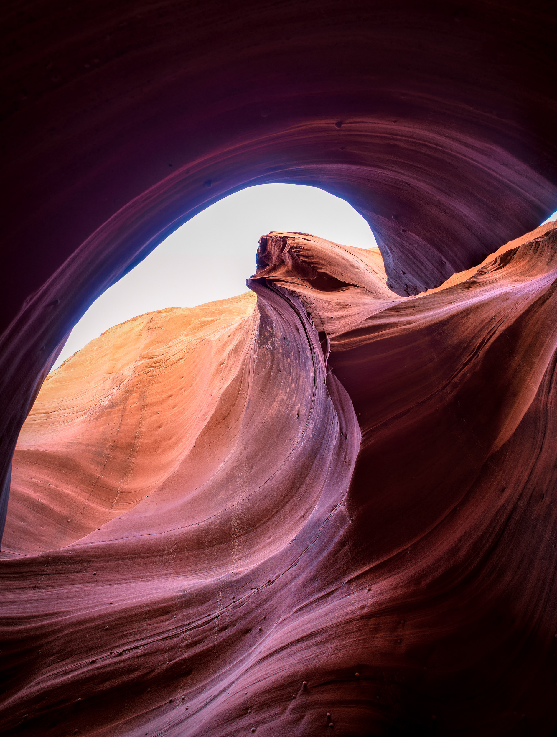
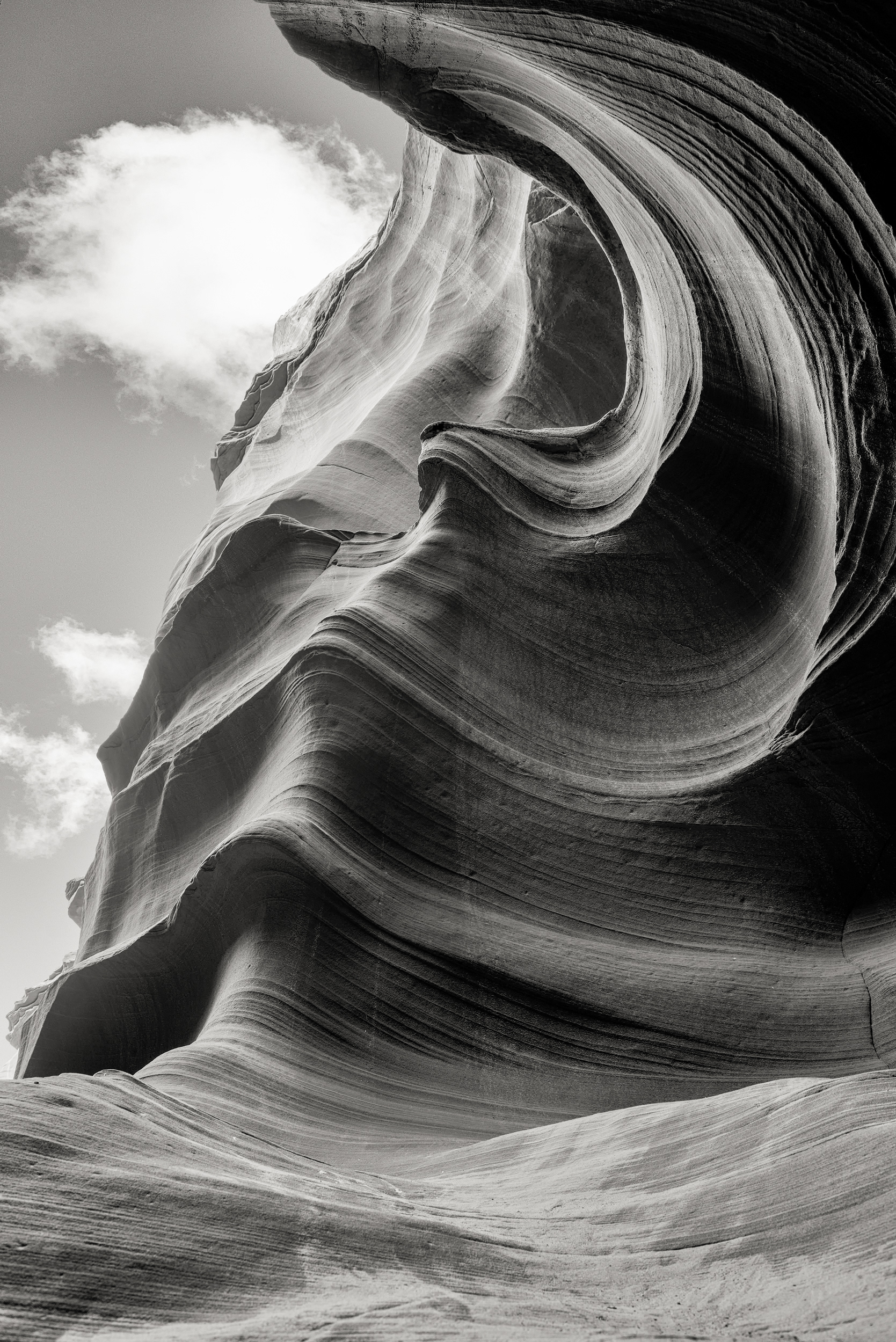
Slot canyon, an arch framing a portal further down the passage. Water carved this, not wind — flash floods through passages like this one carry enough sand to sandblast the walls smooth with every real rain, which is also why the shapes keep changing over time: a single storm can cut a curve that didn't exist the week before. Most of Arizona's classic slot canyons, this one included, sit on Navajo Nation land and require a Navajo guide to enter — partly cultural, partly because these passages take flash floods seriously; a nearby slot canyon of the same type killed eleven visitors in a single 1997 flood, and every access system since has been built around not repeating that.
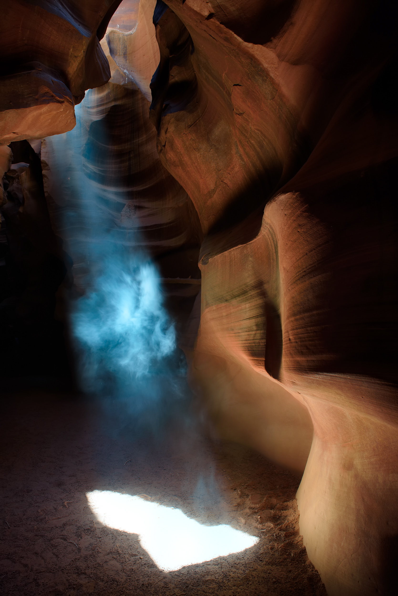
Slot canyon, a shaft of light reaching the floor. A beam like this only becomes visible if there's something in the air for it to hit — dust, mostly, kicked up naturally or, more often, tossed by a guide with a handful of sand at the right moment, since light scattering off airborne particles (the same effect that makes headlights visible in fog) is the only reason you see a shaft instead of just a bright patch on the ground. It also only reaches the floor when the sun sits nearly straight overhead, which narrows the window to a couple of hours around midday, and only for a few months out of the year when the sun's angle cooperates with how narrow this particular slot runs.